


YouHike - Kauai & Niihau app for iPhone and iPad
Developer: Hawaii-Apps
First release : 27 Mar 2017
App size: 393.67 Mb
YouHike - Kaua’i & Ni’ihau offers 32 zoomable interactive trail maps of major hiking areas on the Hawaiian islands of Kaua’i and Ni’ihau.
With YouHike Kaua’i & Ni’ihau you can:
* zoom in to present more detailed information.
* keep track of your location, even if you are out of cell phone range.
* record information about Points of Interest (POIs) you find along your hike. You can save and export your POI information as a text file, or send your POIs to other YouHike users.
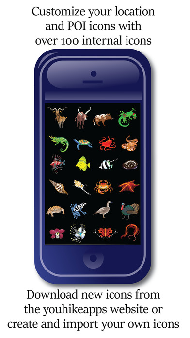
* customize your location and POI graphics with over 100 internal icons.
* download more icons from the youhikeapps.com website, or create and import your own icons.
* track your daily hike miles, save and email your stats.
* import your photos from your devices photolibrary and have them appear on-screen in the map location they were taken.
* send your location to other YouHike users.
* use iCloud to sync your POI data between your iPhone and iPad.
YouHike Kaua’i & Ni’ihau covers over 150 miles of hiking and biking trails on these Hawaiian islands including:
Alaka’i Swamp, Anahola, Awa’awapuhi Trail, Ha’ele’ele Ridge Road, Ha’ena, Hanakapiai Falls Trail, Honopu Trail, Ho’opi’i Falls Trail, Kalalau Trail, Kaluahaulu Wai’alae Trail, Kapa’a, Kekaha, Kohoa Ridge Trail, Koke’e State Park, Kuamoo Trail, Kuilau Ridge Trail, Lihu’e, Makaha Road, Makaleha Trail, Mana Ridge Road, Miloli’i Ridge Trail, Moalepe Trail, Mohihi Camp 10 Road, Mount Waialeale, Na Pali Coast, Ni’ihau, Nounou Mountain, Nualolo Trail, ‘Okolehao Trail, Pihea Trail, Powerline Trail, Wai’alae Mohihi Trail, Wailua River State Park, Waimea Canyon, Waimea Canyon Trail, & Watertank Trail.
**Continued use of GPS running in the background can dramatically decrease battery life.